Tax Map Office
The Tax Map Office is a division of the County Engineer’s Office. Some of the duties include reviewing and indexing land surveys prepared by professional surveyors, adding parcel linework to the County Auditor’s GIS that is used for taxation purposes, and approving descriptions on new deed transfers.
Survey Archives
Survey Archives is the online file system for the certain mapping in the Tax Map Office.
Geographic Information Systems (GIS)
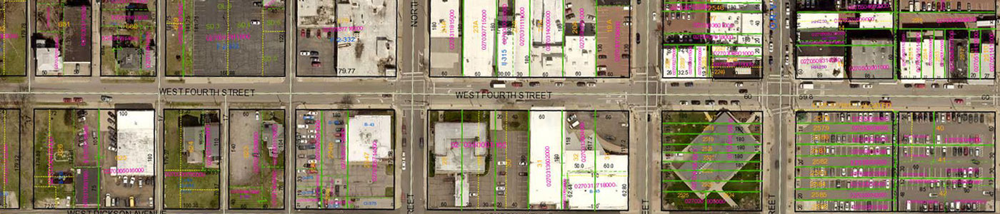
GIS in Richland County is mostly available through the Richland County Auditor. Mapping and download files can be found on their website at https://www.richlandcountyoh.gov/departments/auditor/CamaData.
The Tax Map Office maintains the linework for the GIS. These maps do have lines, dimensions, and acreages, but the intent of the map is for taxing purposes of parcels in Richland County. Property lines are ONLY APPROXIMATE and should NOT be relied on as true indication of a boundary. Consult a professional surveyor to establish true locations of lines and mark them accordingly.
The County Engineer does have certain ArcGIS online maps available that are of use to our office and have been made public.